News Summary
The National Weather Service confirmed that two additional tornadoes touched down in the Tennessee Valley, bringing the total to nine verified tornadoes across North Alabama. The storms have resulted in extensive damage and numerous injuries as communities begin recovery efforts. Notably, an EF-2 tornado reached peak winds of 134 mph, causing significant destruction. Weather alerts remain in effect as local authorities continue assessments and support for affected residents.
Multiple Tornadoes Confirmed in the Tennessee Valley During Severe Storms
Madison, Alabama – The National Weather Service (NWS) confirmed that two additional tornadoes touched down in the Tennessee Valley late Tuesday night, adding to the already severe weather impact in the region. In total, nine tornadoes have now been verified across North Alabama, resulting in extensive damage and numerous injuries due to the extreme weather.
Details on Tornadoes
The first confirmed tornado, rated EF-1, struck the Monte Sano/Moontown area, with winds reaching an impressive 107 mph. This tornado traveled a distance of eight miles. Shortly after, the same supercell generated an EF-2 tornado in Killingsworth Cove, which produced peak winds of 134 mph and was responsible for considerable destruction in its path.
A second tornado was confirmed in Section, rated EF-0, which formed near the intersection of Hwy 71 and Hwy 35. This tornado traveled six miles with peak winds measured at 80 mph. The damage reports reflect significant tree and power line destruction due to these tornadoes, alongside injuries to local residents.
Weather Alerts
A Tornado Emergency was issued for the Madison and Huntsville Metro area, effective between 6:35 PM and 6:45 PM CDT on Tuesday, highlighting the severity of the conditions. The confirmed EF-2 tornado originated five miles southeast of Athens and tracked eastward, covering 13 miles with peak wind speeds of 125 mph. This tornado particularly affected the Greenbrier Parkway area, resulting in notable tree and minor roof damage to homes.
The tornado was observed by storm chasers and made its way across I-65 near Tanner, contributing to the urgency of the weather alerts issued by local authorities. Other tornadoes assessed included:
- An EF-1 tornado in Crossville, with peak winds of 93 mph traveling six miles.
- An EF-1 tornado in Morgan County, peaking at 105 mph and traveling from Neel to Priceville.
- A significant 17-mile journey by another EF-1 tornado in Ford City, with maximum winds also at 105 mph.
- Additional EF-1 tornadoes were found at Dement Branch (100 mph) and in Marshall County (100 mph, three miles).
Additional Severe Weather Reports
Beyond the tornadoes, straight-line wind damage between 70 to 90 mph was reported in parts of Colbert and Lauderdale Counties, leading to widespread power outages and damages. A waterspout observed over Wheeler Lake near the Browns Ferry Nuclear Plant was categorized as EFU (unknown) as it occurred over water.
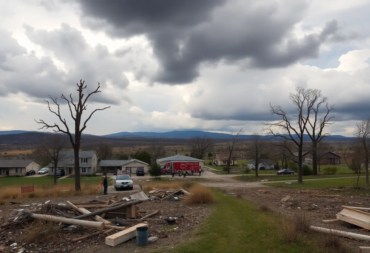
Community Response and Recovery
In the wake of the storms, local authorities have undertaken necessary assessments of the damage, and ground surveys carried out by the NWS have confirmed no additional tornadoes beyond the initial nine surveyed. Efforts continue as residents recover from the significant impact of this severe weather event.
Conclusion
The destructive storm system that swept through the Tennessee Valley serves as a reminder of the power of nature and the importance of preparedness during severe weather events. As communities begin to assess and recover from the aftermath, ongoing support from local agencies will be crucial in ensuring public safety and restoring normalcy to the affected areas.
Deeper Dive: News & Info About This Topic
HERE Resources
Tornado Watch Issued for North Alabama and Southern Tennessee Amid Severe Weather Threat
Tornado Watch Issued for Multiple Counties in North Alabama
Severe Tornadoes Cause Destruction Across Alabama and Beyond
Severe Storms and Tornadoes Cause Widespread Damage in Huntsville
Alabama Prepares for Severe Weather This Weekend
Huntsville Introduces New Interactive Weather Exhibit
Lauderdale County Tornado: An EF-1 Strikes with No Injuries Reported!
Central US Faces Severe Weather and Flooding Risks
Massive Storm System Threatens Over 100 Million Americans
Severe Weather Alert: A Weekend of Storms Ahead!
Additional Resources
- WAFF: 2 More Tornadoes Confirmed in North Alabama
- Wikipedia: Tornado
- WHNT: NWS to Survey Damage Across North Alabama
- Google Search: Alabama Tornadoes
- Al.com: How Many Tornadoes Hit Alabama?

Author: STAFF HERE HUNTSVILLE WRITER
The HUNTSVILLE STAFF WRITER represents the experienced team at HEREHuntsville.com, your go-to source for actionable local news and information in Huntsville, Madison County, and beyond. Specializing in "news you can use," we cover essential topics like product reviews for personal and business needs, local business directories, politics, real estate trends, neighborhood insights, and state news affecting the area—with deep expertise drawn from years of dedicated reporting and strong community input, including local press releases and business updates. We deliver top reporting on high-value events such as Panoply Arts Festival, Rocket City Brewfest, and Huntsville Comic & Pop Culture Expo. Our coverage extends to key organizations like the Huntsville/Madison County Chamber of Commerce and HudsonAlpha Institute for Biotechnology, plus leading businesses in aerospace, defense, and manufacturing that power the local economy such as Boeing, SAIC, and Mazda Toyota Manufacturing. As part of the broader HERE network, including HEREBirmingham.com, we provide comprehensive, credible insights into Alabama's dynamic landscape.